Mireye Land
The workspace where sourcing, diligence, and deals sit on one record.

From a county sweep to a signed LOI
Find the land, screen it, put questions to the record, compare the finalists, and work the deal — every step in the same workspace.
Ellis County, TX
Discover
Point a buy box at a county and it runs against every parcel on the roll, not a sample. What clears the hard gates comes back ranked, and every gate the record could not answer is named rather than quietly dropped.

Parcel
- apn
- 0413-2201-004
- acreage
- 148.6 ac
Terrain
- slope
- 2.4% avg
- elevation
- 512 ft
Power
- substation
- 3.1 mi
- voltage
- 138 kV
Environment
- flood
- FEMA zone X
- wetlands
- none mapped
Parcel Screening
Already holding a site? Screen it by parcel number, address, or coordinate. Terrain, power, hazards, and environment come back as one cited record, with the coverage stated up front so you know what was found and what was not.
mireye powered agent · claude-opus
Chat Agent
Put questions to the record in plain English — water risk, carbon intensity, what would kill this site. Every answer carries the sources it was drawn from, and says unknown when the record does not support one.

Describe what you are looking for.
must clear
ranked by
Buy Box
Describe what you are looking for in a sentence and it is read into structured rules: hard gates that must clear, preferences that set the ranking. Write it once and reuse it across every county you work.

671 SH 34, Ellis, TX
Ellis County · 2,283.3 ac
93 fitPursue
2892 Ike Road, Ellis, TX
Ellis County · 769.6 ac
93 fitPursue
Parkinson Rd, Waxahachie, TX
Ellis County · 480 ac
88 fitPursue
5776 Old Fort Worth Road, Ellis, TX
Ellis County · 335.9 ac
88 fitPursue
Pipeline
The land CRM, built around the record rather than beside it. Move a site from new through contacted to LOI with the screen, the notes, and the buy box that found it attached to the row.

requirement
Wyatt Tract
Forreston Tract
Acreage ≥ 200 ac
487.9 ac
328.7 ac
Floodplain outside
No
No
Transmission ≤ 5 mi
1.42 mi
0.24 mi
Voltage ≥ 138 kV
345 kV
138 kV
4 gates · 2 finalists · Ellis County
Compare
Put two to four finalists side by side, gates as rows and sites as columns. Read one requirement straight across every site instead of holding four tabs open and comparing from memory.
One sweep, whatever you build
Every sector reads the same parcel record. What differs is the handful of fields that make or break the deal, so each screen leads with those and lists what it could not answer.
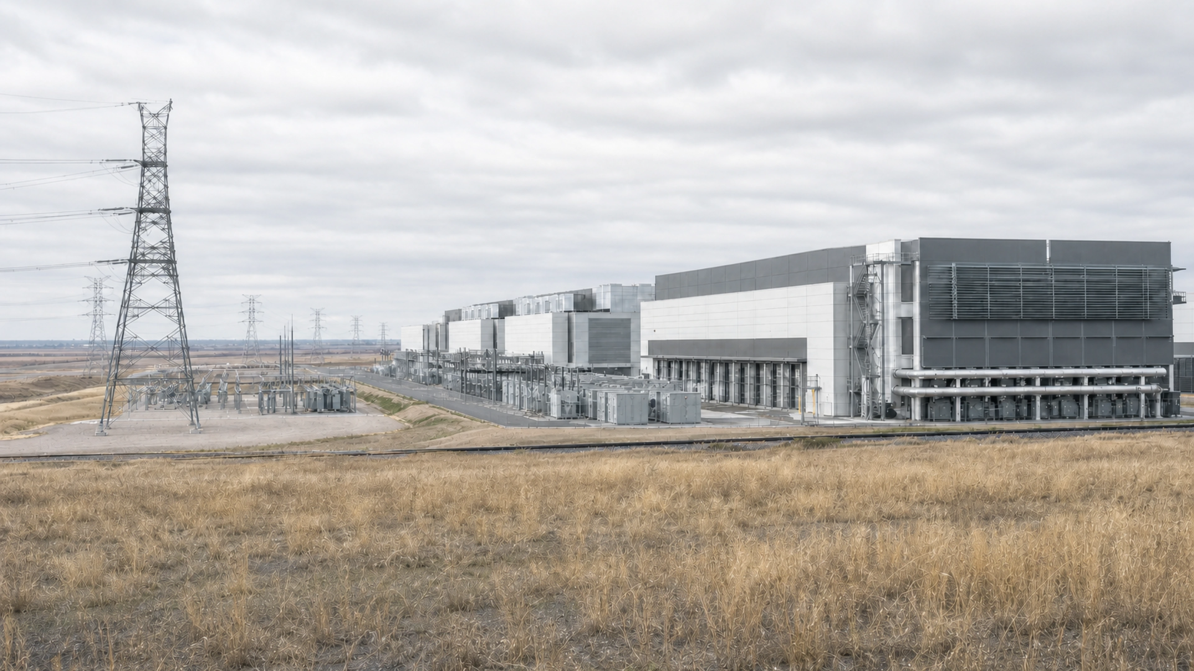
Data center
138 kV
substation voltage
Power first. The site tour can wait.
Substation voltage, distance to the nearest transmission line and the voltage on it, for every parcel in the county rather than the few you already had in mind.
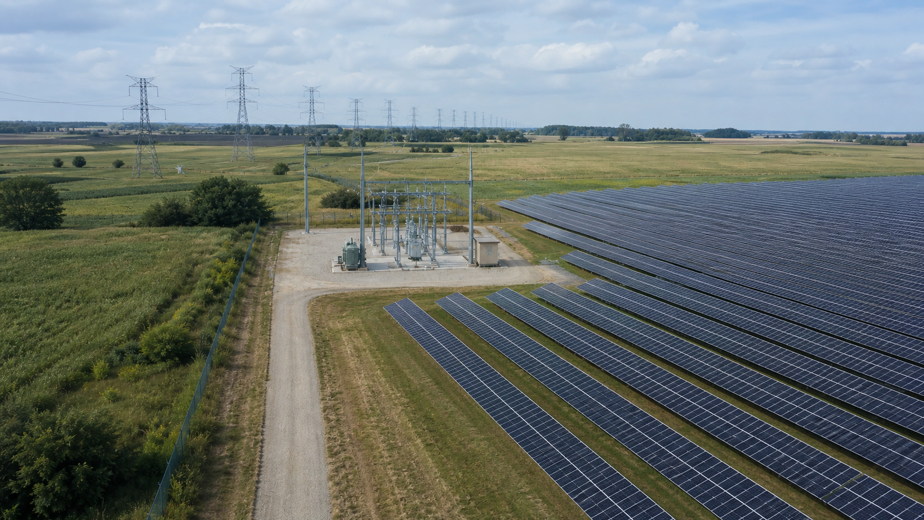
Solar
16.2%
PV capacity factor
Yield before diligence. Rank the county, then drive it.
Annual irradiance, modelled capacity factor and the best fixed tilt for the latitude. Enough to sort a market before anyone books a site visit.
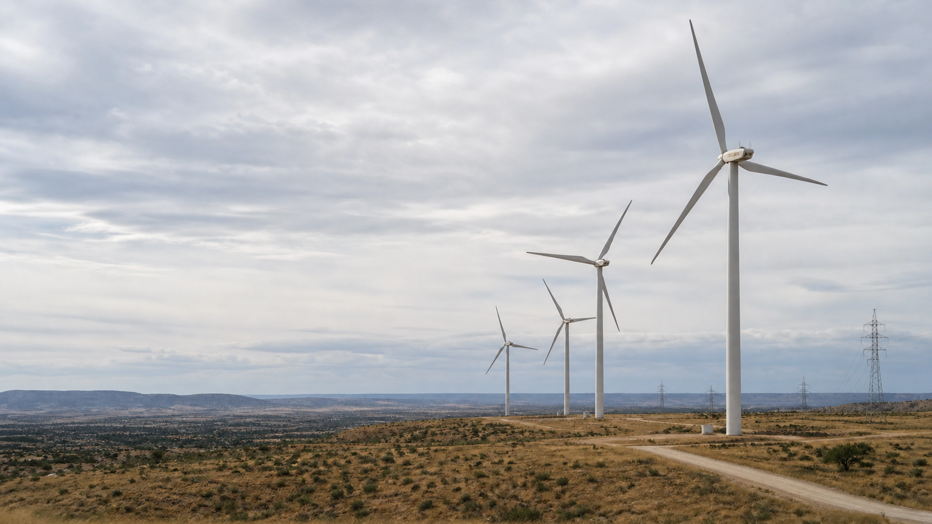
Wind
7.89 m/s
mean wind at 100 m
Hub-height wind. Not a map colour.
Mean speed at 100, 120 and 160 metres, the capacity factor that follows, and the cheapest route to a tie-in.
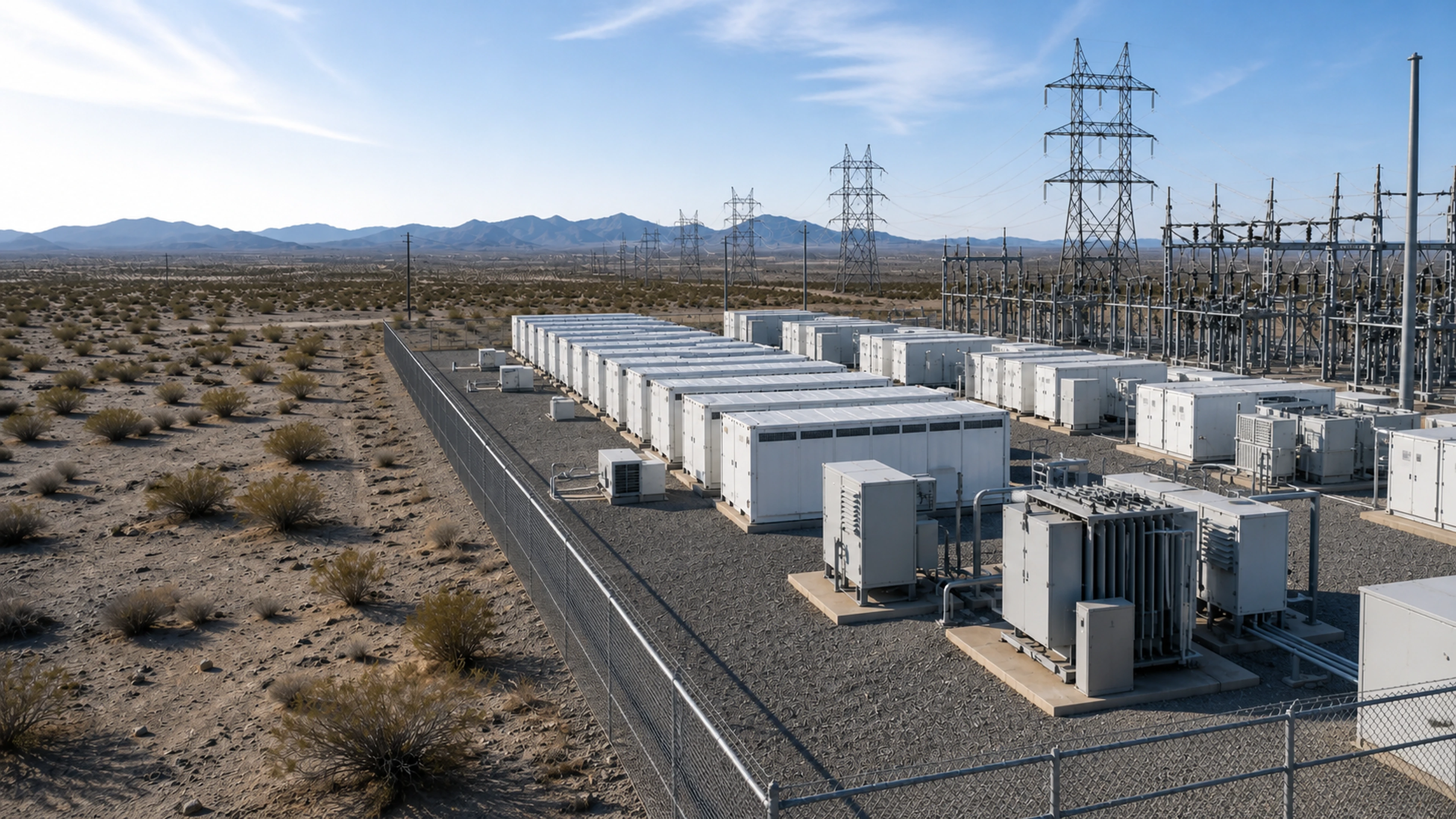
Battery storage
183 m
to transmission
Interconnect headroom. Same record, different question.
Storage sites on the grid record a data center uses: substation voltage, metres to the nearest line and the voltage you would land on.
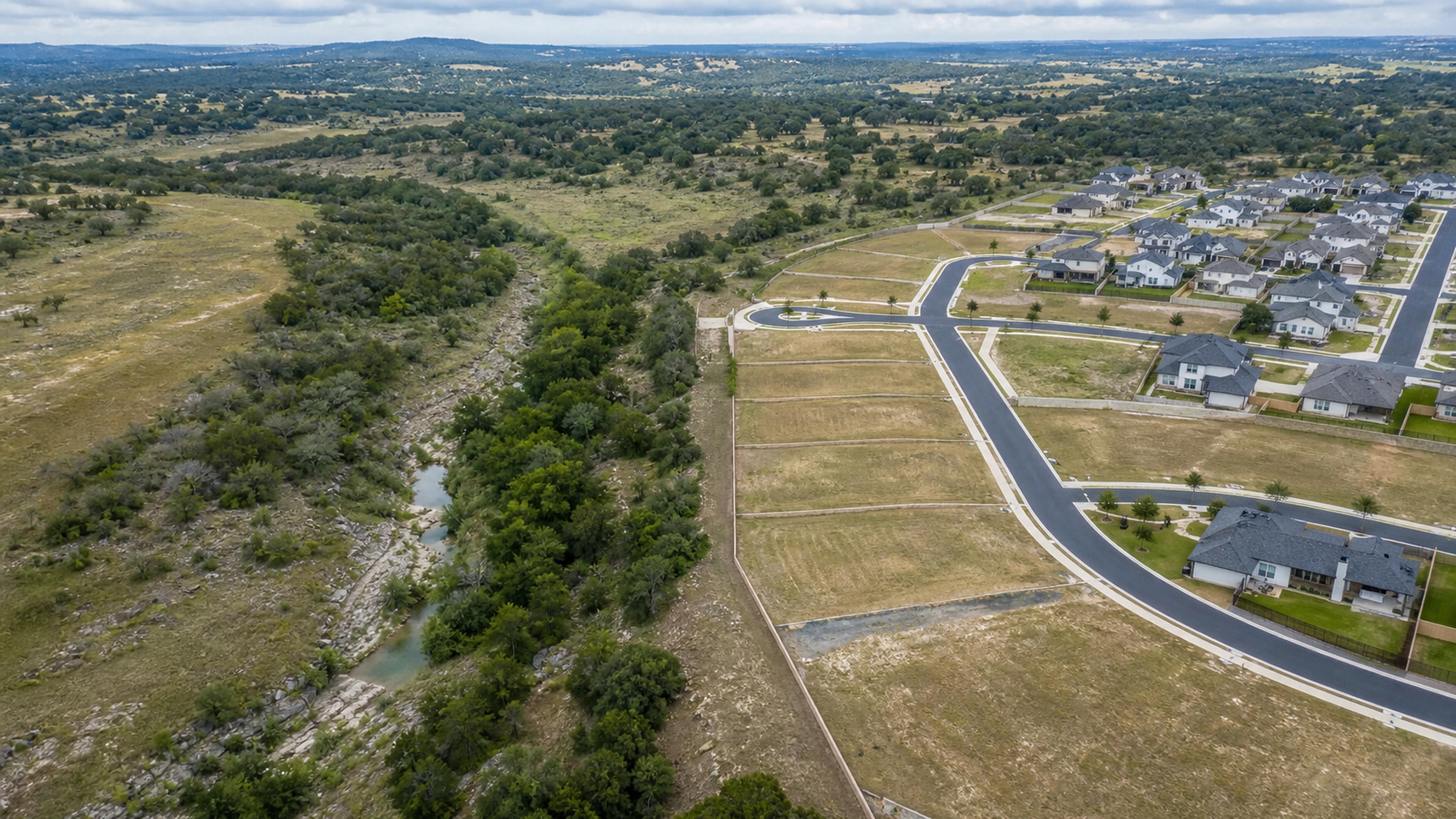
Residential
0.22°
slope
Buildable ground. Before the platting bill.
Slope, floodplain and wetland on every parcel, so land that cannot be platted leaves the sweep before anyone pays to learn that.
From buy box to owner contact.
Discover, Screen, Compare, and Pipeline all end at the same parcel workspace — the screen, its sources, the county signals, and the owner, together.
Mireye Land
Buy Box