






Physical world context for AI agents
One API for data, enrichment, tools and signals.
Every value cited
Power your agents to make decisions about the physical world
What's the elevation at 40.7128, -74.006?
I don't have real-time access to elevation databases. Based on general knowledge, the area near 40.7128, -74.006 (Manhattan, NYC) has elevations ranging from roughly sea level to about 10 to 50 meters depending on the specific location.Would you like me to suggest some online tools for looking up precise elevation?
No source. No timestamp. Estimated range.
What's the elevation at 40.7128, -74.006?
The elevation at 40.7128, -74.006 is 13.03 meters above sea level (NAVD88 datum).
- elevation
- = 13.03 meters
- source
- = USGS_3DEP_COG
- fetched
- = 2026-07-28
- confidence
- = medium
Federal source, clickable URL, fetched timestamp, confidence.
One API to connect your agents to physical world data, enrichment, tools and signals
AI agents — Claude, ChatGPT, Kimi, Gemini, Cursor, Grok, Copilot, DeepSeek, or custom agents — ask Mireye through one API with MCP tools. Mireye returns cited data, enrichment, proprietary fields, signals and tools, indexed from the physical world. A field the catalog doesn't have yet is indexed on demand from source data and flows back into Mireye.
Sectors we power
Every “should I care about this place, and why?” question routes to the same API — these are the desks already asking it.
Data center siting
Renewable energy siting
Insurance underwriting
Mortgage & title
Residential land
Commercial lending


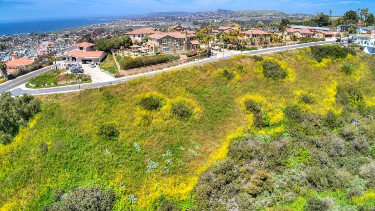

Ask anything about a place.
Ask a question about a place and get a cited answer. One call can resolve an address, fetch fields, and measure distances, and you get back the plan it ran so you can replay it.

mireye powered agent · claude-opus
Turn anything into a place.
Send an address, APN, coordinates, place name, or company and get back one canonical place with coordinates, parcel ID, match method, and a confidence score. Ambiguous input returns candidates instead of a guess.

mireye powered agent · gpt-sol · tools: mireye.geocode
Cited facts at any location.
Name the fields or a preset and get typed values for any US location, each with its source, fetch time, and confidence. Send hundreds of locations in one call, and one bad address does not fail the rest.

mireye powered agent · claude-opus · tools: mireye.fetch
Find places matching criteria.
Fetch tells you what is true at a place; search tells you where something is true. Give it a geography and criteria, and it returns ranked candidates with the cited reason each one passed or failed, plus how well the area is covered.

mireye powered agent · kimi · tools: mireye.search, mireye.fetch
Measure what the data can't say.
Measure the distance from a point or parcel boundary to the nearest feature, filtered how you need it, such as the nearest transmission line at or above 345 kV. Every answer states the method it used.

mireye powered agent · gpt-sol · tools: mireye.compute
What isn't written down anywhere.
Counties and municipalities publish their rules as PDFs, agendas, and minutes. This reads them and returns cited JSON, either from ready-made signals like impact fees, moratoria, and school bonds, or from a question you write.
mireye powered agent · claude-opus · tools: mireye.research
Frequently asked questions
Mireye is the physical-world layer for AI agents: data, enrichment, proprietary derived answers, real-world signals, and the tools on top of them. Eight capabilities behind one API and one MCP server, with a citation attached to every field.
